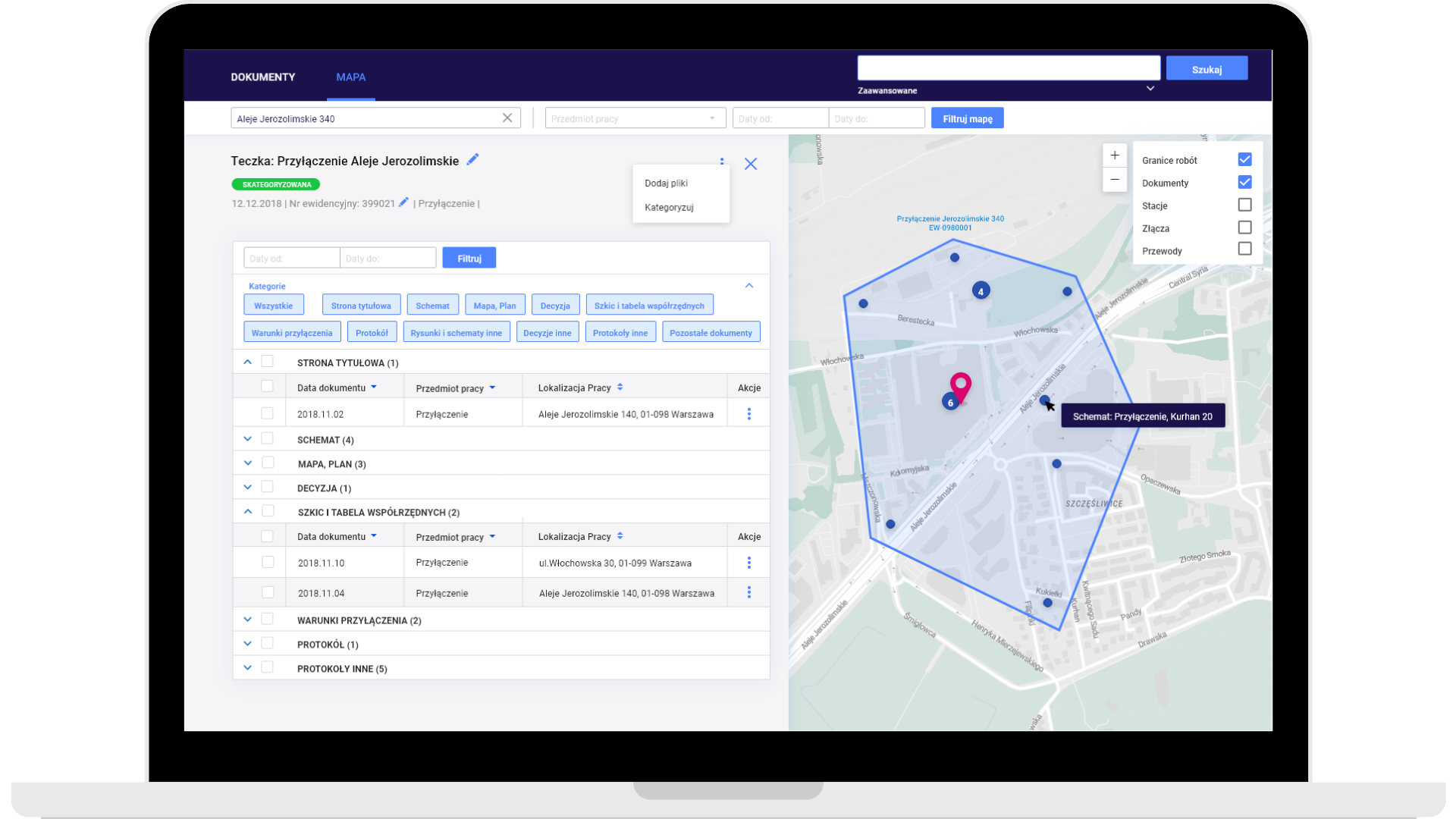
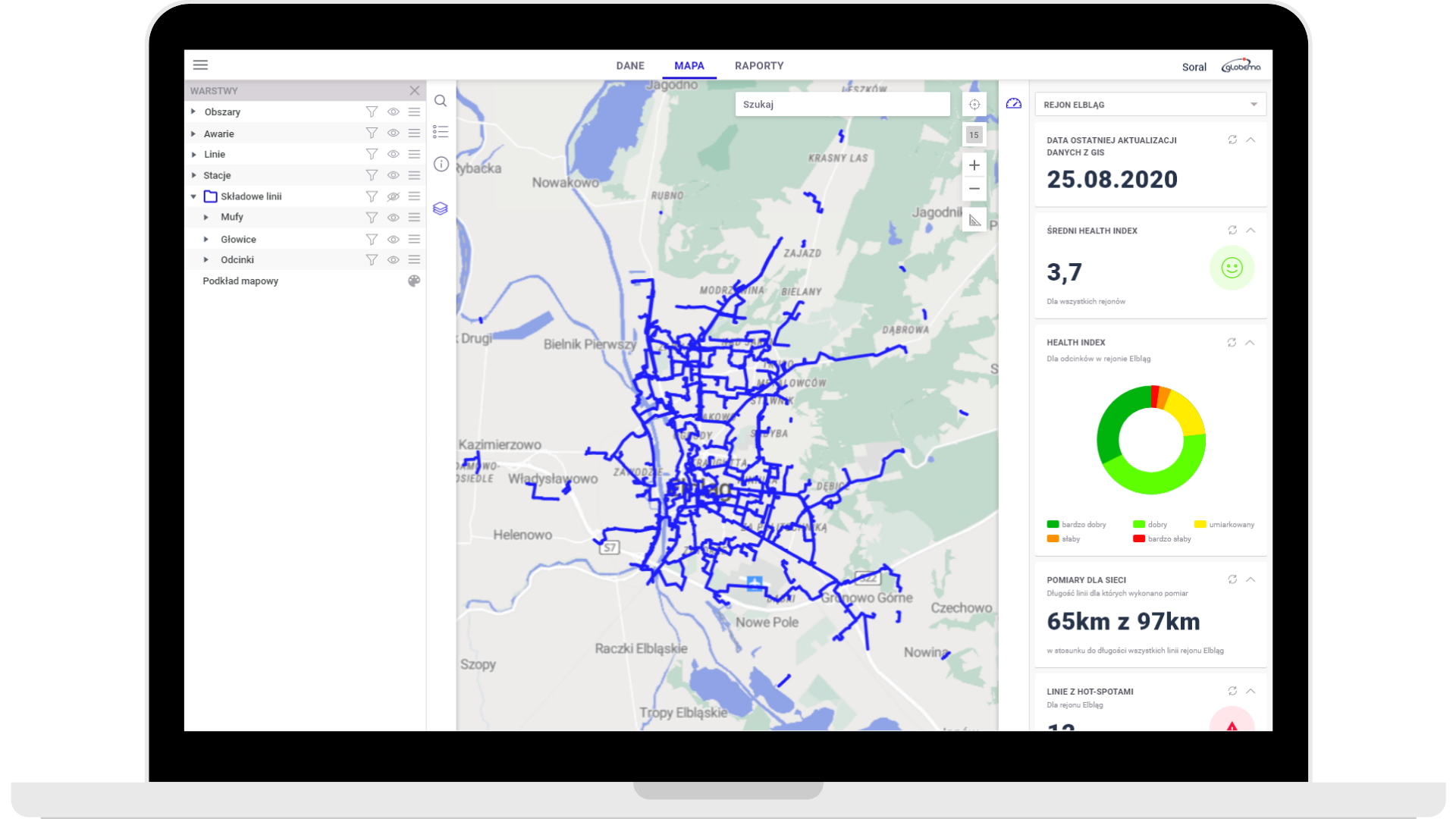
Do you need an efficient map application?
We create solutions for companies that seek to improve their business processes with a geospatial application.
- Telecommunication and network industries
- Retail & e-commerce
- Real estate
- Government organizations
- Finance & Insurance
- IoT devices & wearables
- Delivery & courier companies, post offices
- Fieldwork departments (fieldwork technicians, retail representatives, etc.)
Do you want to expand your solution with a map component?
We provide tools for creating maps on websites, as well as inside web and mobile applications. You can use our map component to extend your app with a geospatial context. We create dynamic, high-performance, customizable maps with editing tools tailored to your needs. Additionally, we can extend your map with complementing modules such as geocoding, fast search with autocomplete, or routing.
Ready-made map applications don’t meet your requirements?
Are you looking for a solution that will suit the nature of your business and industry?
Out-of-the-box applications available on the market have too few or too many functions and are not what you are looking for? At the same time creating specialized applications is too expensive, time-consuming, and requires specific competencies that are hard to find?
As your technology partner, we will help you to execute strategic geospatial projects, no matter what’s the scope of your challenge. We will extend your application with a map module or develop a customized app.


How are we going to build your solution?
Our development team is experienced in spatial solutions and it will turn your ideas and needs into modern, scalable, and intuitive software while bearing in mind your time and money, as well as an agile approach. Find out the functionalities and components included in GeoPlatform.
- Structure
- Interactive maps
- Editing functionalities
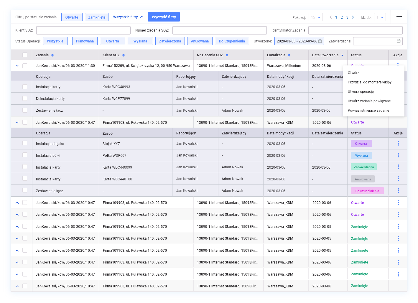
- Object properties, lists, and tables
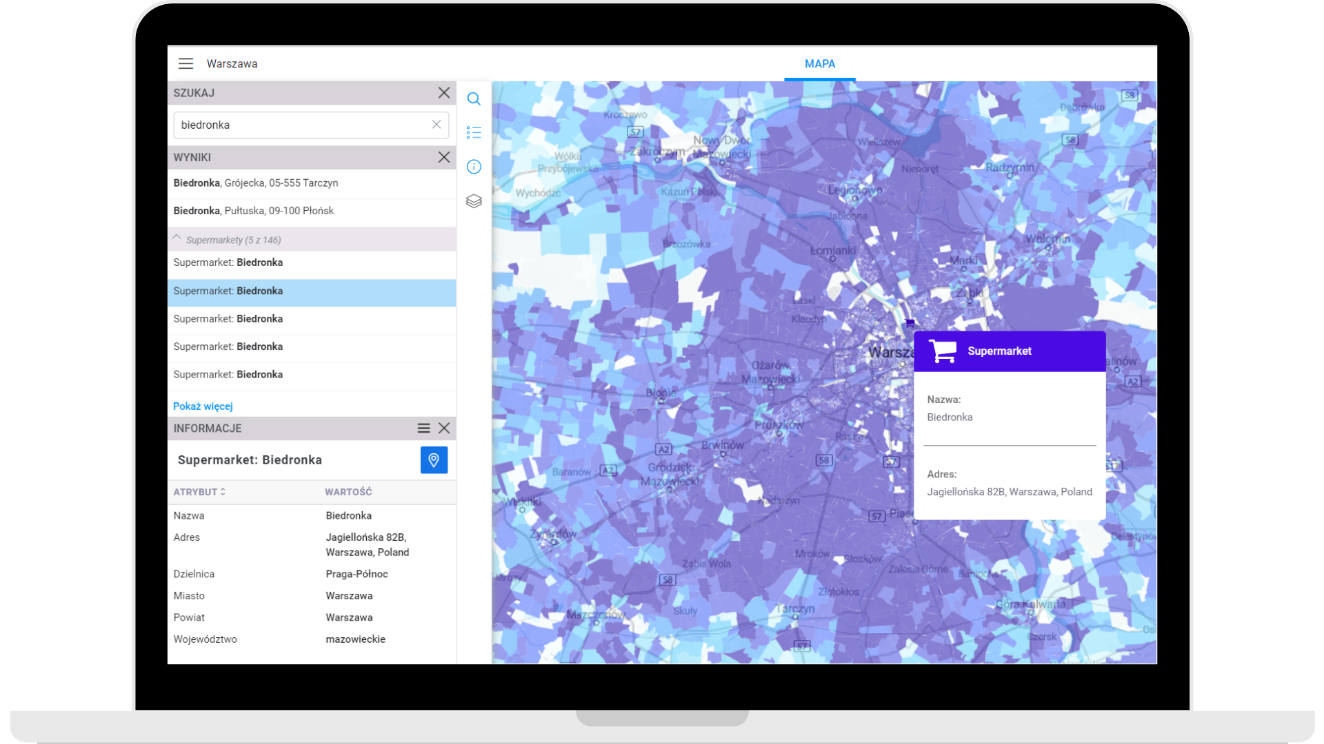
- Searching for objects and addresses
- Dashboards
Structure of the solution
GeoPlatform is a set of coordinated, dockerized containers that allow us to create advanced map applications that seamlessly operate on large volumes of data.
- Map component based on Open Street Map data
- Back-end: Spring Boot
- Front-end: Angular 10
- Google Cloud
- PostgreSQL database
- Geoserver
- Elastic Search

Interactive maps
- Beautiful and readable map styles that match your needs
- Interactive data on the map
- Labels, clusters, heatmaps, tooltips
- A unique method of back-end/front-end rendering that allows us to reach the best performance
- Supported data formats: Open Street Map, WFS, WMS, WMTS

Editing functionalities
- Advanced options for editing geometry of point objects, polygons, and lines
- Advanced options for editing object attributes, such as dictionaries, strings, dates, numbers, and booleans.
- Fast and efficient operations

Object properties, lists, and tables
- Object properties with links to related objects
- Object attachments, photos, and notes
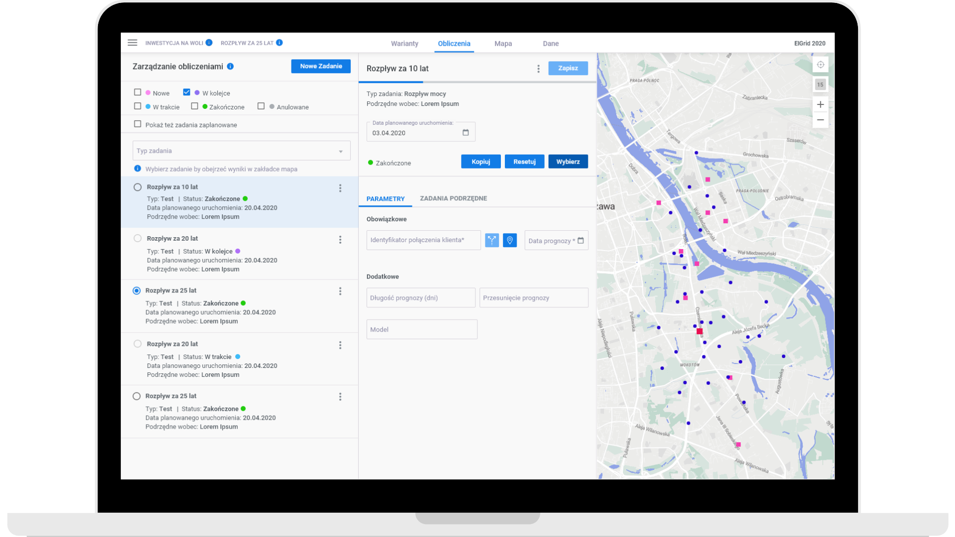
- Lists of objects
- Readable, flexible object tables with sorting and filtering
- Export functionalities ( to .csv and .shp)
Searching for objects and addresses
- Flexible options for searching for objects with Elastic Search technology
- Address search with autocomplete functionality
- Searching for objects by any property
- Fast and efficient performance

Dashboards
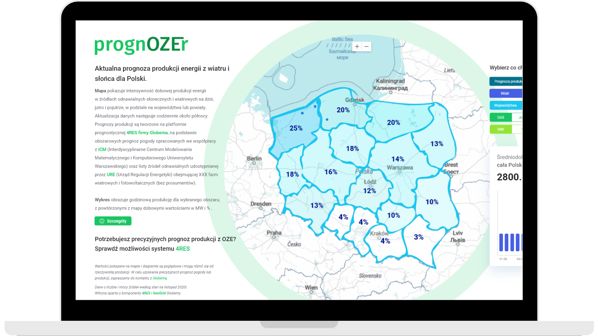
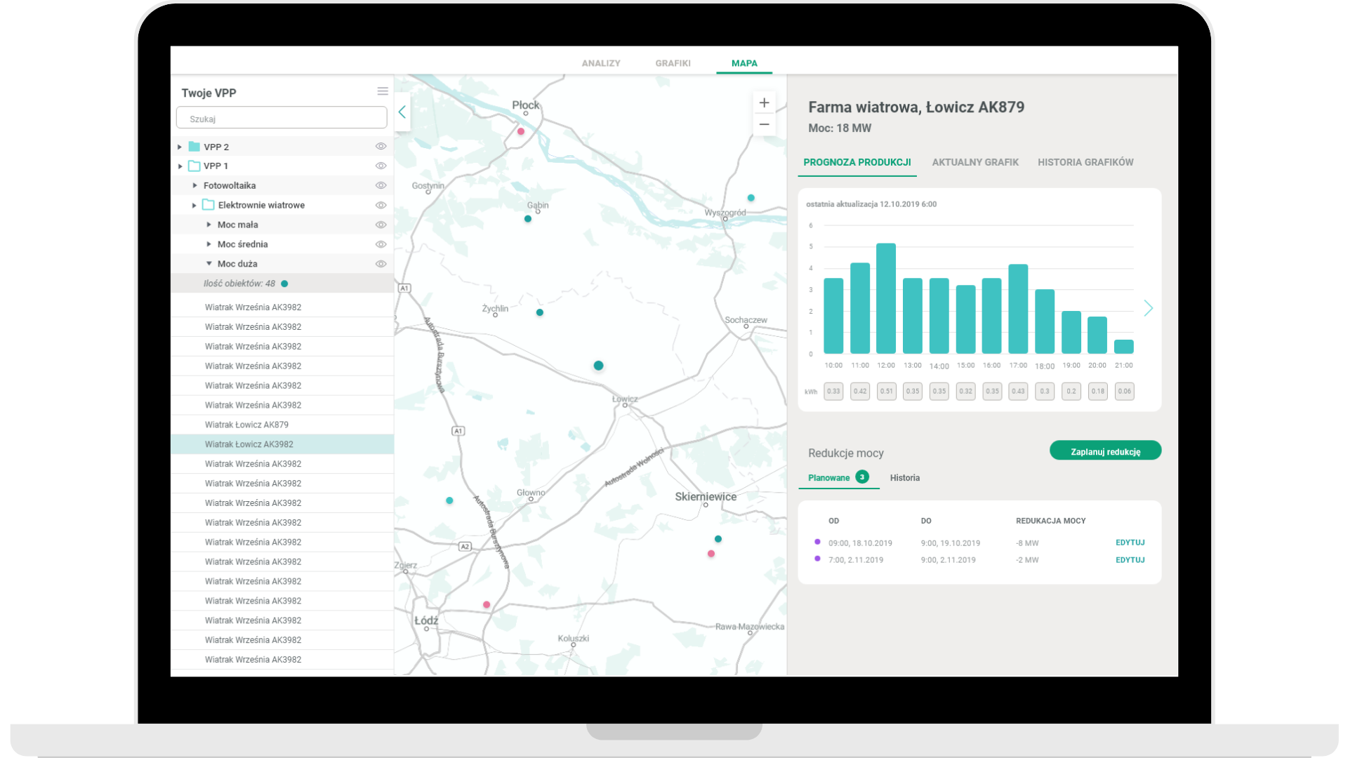
- Interactive dashboards that reflect the status and performance of assets and events in real time
- Visual representation of data via charts and graphs
- A set of interactive, generic controls, charts, and lists
- Dynamic and static data
- Coordinated with a map

Technologies we use


How do we do that?
We have 20 years of experience in the market and it’s the best proof that our approach to providing IT solutions is unique.


Data
Do you need to supply your application with data from different sources? It’s not an issue. Thanks to FME, our solution integrates with many different data sources, including local or outside, data storage, BI, and GIS applications. Whether you’re looking for SaaS service, private or public cloud, or On-Premises solutions, our platform is ready to support you in the way you need.
Additionally, GeoPlatform includes modules for:
- Fast data import from .csv or shapefile files
- Geocoding (changing addresses into coordinates and placing them on a map)
We create tailored solutions for companies that want to improve their business processes with a geospatial application.
“53% of organizations consider data analysis in location-based context as critical or very important for achieving business goals”
Do you need a map application?
Solution based on existing components made just for you. Why is it worth it?
The biggest advantages of a tailor-made are functionalities that can’t be found in standard applications. They result in improved productivity of your employees and a higher rate of achieving business goals. Also, when you run a business, you look for software that fits your needs perfectly. You don’t want to pay for additional features that you won’t use because they do not meet your expectations.
Personalized, custom software based on existing components is a perfect solution. It meets 100% of your expectations and business needs and you will be able to modify it at the right moment when your company grows. It also offers the best relation between its delivery time, quality, and price.
GeoPlatform at work – applications that we build take your business to the next level
For many years, we create dedicated map applications for industries such as energy, telecommunications, network, retail, e-commerce, logistics, real estate, automotive, or public sector. See out solutions based on GeoPlatform and check out what we can do.
We’re trusted by


10
150
500
50
Why is it worth teaming up with us?
We have over 20 years of experience in creating and implementing geospatial applications, from simple map apps to advanced GIS systems. We’re also a Google Cloud Premier Partner and the only Premier Partner in regards to Google Maps in Poland.
Our geospatial system specialists together have more than 200 years of experience in creating and implementing map applications in many places around the world. Make use of our skills and knowledge and we will help you achieve your business goals!
Methods we use to solve your problems and help you achieve success
We design, build and scale geospatial applications and map modules based on existing components.
We care about your time and money and use agile methodologies to develop apps. This way we can transform your ideas and needs into innovative, scalable, intuitive software.
How is our partnership going to work?
Meeting and demo
Contact us and we will reach out to you and schedule a meeting for presenting the platform’s possibilities and talking about your needs.
Estimating initial scope of work and pricing
Our advisor, together with the product team, estimate the scope of work and initial pricing.
Analysis, design, solution development, and testing
We work according to the Agile methodology. We create the solution based on existing components.
Implementation
In the cloud or On-Premises, depending on your needs specified in the contract.


